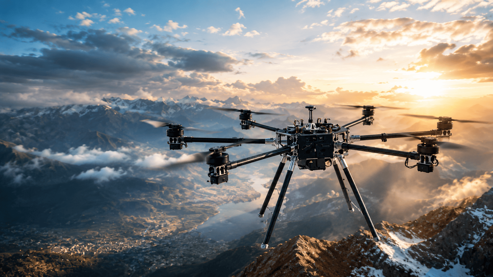

A central application discussed was the identification of urban heat hotspots. Drones equipped with radiometric thermal sensors can capture detailed surface-temperature information, helping distinguish between different urban surfaces and built environments, including heat-retaining asphalt, rooftops and densely developed areas with limited vegetation or ventilation.
The presentation also highlighted the importance of distinguishing between land-surface temperature and ambient conditions. Combining drone-based thermal observations with information from ground weather stations and other sensors can provide a more detailed understanding of where surface temperatures are significantly higher than surrounding air temperatures.
This information can support precision-targeted preparedness and response. Rapidly updated thermal maps can help identify streets and public spaces experiencing greater thermal stress and inform decisions about where cooling facilities should be positioned, where emergency resources may be required and where community health interventions should be prioritised.
Thermal imagery can also be combined with optical and multispectral data and GIS-based information to identify smaller areas characterised by factors such as high building density, limited tree canopy and greater population exposure. These datasets can contribute to emergency command and decision-support systems.
The broader application of drone technology extends beyond heat monitoring. The same capabilities can support mapping, hazard monitoring, infrastructure inspection, search and rescue and emergency coordination, making drones a potentially valuable component of wider emergency-management systems.
The presentation ultimately highlighted the value of rapidly deployable, high-resolution heat intelligence in moving from broad assessments of urban heat towards more localized understanding and targeted operational decisions.